Guangdong Transportation Group collaborates with Baidu to release the first provincial-level digital base map of over 10000 kilometers in China
As a major transportation province, Guangdong plays an important role in China's modern transportation construction. Currently, the mileage of expressways in Guangdong Province has exceeded 11200 kilometers, ranking first in the country for 9 consecutive years
As a major transportation province, Guangdong plays an important role in China's modern transportation construction. Currently, the mileage of expressways in Guangdong Province has exceeded 11200 kilometers, ranking first in the country for 9 consecutive years. The density of the Greater Bay Area expressway network ranks among the top in the global Bay Area. The huge expressway network, huge traffic flow, and the frequent occurrence of extreme disasters such as typhoons and rainstorm in recent years have brought great pressure to keep the expressway unblocked and safe. At the same time, the deep integration of new technologies such as Big data and artificial intelligence with the transportation industry has made Expressways of Guangdong more smooth and safe.
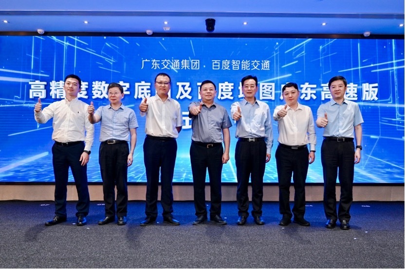
On July 21, Guangdong Communications Group and Baidu Maps jointly released the "high-precision digital base map" and "Baidu Map Guangdong Express Edition". The high-precision digital base map released this time is the first high-precision map "digital base" of provincial-level highways with over 10000 kilometers in China. It can provide unified map and data service capabilities for highway construction, management, maintenance, operation, and service, and improve the efficiency of highway operation and management; At the same time, the "Baidu Maps Guangdong Expressway Edition" released will bring more personalized and high-quality services such as path planning, driving navigation, road condition awareness and traffic event reminders to car owners in Guangdong Province.
Liu Xiaohua, General Manager of Guangdong Transportation Group, Cao Xiaofeng, Deputy General Manager, and Shi Qinghua, Vice President of Baidu and General Manager of Intelligent Transportation Business Unit attended the event.
Cao Xiaofeng said that the product release of "high-precision digital base map" and "Baidu Maps Guangdong Expressway Edition" is not only an important step of Guangdong Communications Group in "Digital transformation", but also an important new Information infrastructure for the future construction of smart expressway. More importantly, it can provide high-quality smart travel services for the majority of car owners.
Shi Qinghua said that Baidu will work with all parties in the industry to build a safe, efficient, intelligent interactive, closed-loop inclusive and sustainable smart high-speed business based on the advantages of artificial intelligence technology and open ecology accumulated over the years, so as to make travel safe, efficient, economic and green.
The digital twin highway system in Guangdong Province has been initially completed, achieving the core scenario of "business map management"
High precision digital map "is a platform based on high-precision map data, combined with industry data, to provide basic support for high-quality travel services for car owners. By creating a map base of" high-precision map+high-quality industry data+unified map service entrance ", the digital twin highway system in Guangdong Province has been preliminarily established. The high-precision map mileage in the "high-precision digital base map" has exceeded 11200 kilometers, and there are over a million three-dimensional high-precision digital assets. The highest modeling accuracy is better than 3 centimeters, making it a new benchmark for the digital base of highways in China.

In the future, the "high-precision digital base map" will provide basic support and innovative empowerment for highway construction, management, maintenance, and operation services. Core application scenarios such as road network operation and emergency command and dispatch, road network equipment management and maintenance, road facility maintenance and emergency response, road network owner travel services, and integrated presentation of road facility equipment, comprehensively improve the safety and efficiency of traffic operations. Based on this, Guangdong Transportation Group will truly achieve "problem mapping, asset mapping, solution mapping, and business mapping management".
For example, in terms of emergency command and rescue, the staff of the monitoring center can monitor the high-precision map and digital twin function on the large screen to see the status of vehicles driving on each lane and the congestion of the road network. In the event of a traffic accident, abnormal parking, pedestrian intrusion into high speed, and other emergencies, the monitoring center will receive system alerts. At this point, the staff will immediately report the incident to the highway administration, traffic police, rescue and other departments for disposal, effectively preventing the occurrence of accidents or further escalation of the situation.

In terms of road asset management, the "high-precision digital base map" manages road infrastructure, traffic safety facilities, management service facilities, emergency facilities, mechanical and electrical facilities, and accurately presents the location of each facility on a high-precision map. Operations and maintenance personnel can quickly locate the specific locations of facilities and equipment on high-precision maps, and understand the basic information and operational status of equipment and facilities through digital twin functions, achieving refined management of road assets, as well as rapid inspection and remote operation and maintenance of equipment.

In terms of road maintenance management, combined with the AI lightweight inspection kit, automated inspection of road diseases and traffic safety facility damage can be achieved in daily road maintenance work. The precise location, disease type, damage range, and stake position of road diseases and traffic safety facility damage can be visualized on high-precision maps, and maintenance personnel can complete disease confirmation on high-precision maps, Formulate corresponding maintenance and repair and road closure construction plans, and publish the road closure construction information to Baidu Maps APP in real time, so as to inform the past car owners and friends in advance.

At the same time, the "high-precision digital base map" has accumulated a large amount of data assets for Guangdong Transportation Group. In the future, available data resources can be formed through data governance, empowering the group's data asset management, data asset compliance registration, and achieving data assetization.
Baidu Maps Guangdong Express Edition was released to provide more refined and localized navigation experience
Based on the high-speed digital twin map created by the high-precision digital base map project, Baidu Maps launched the Baidu Maps Guangdong high-speed version, which can provide a lane level three-dimensional immersive navigation experience for driving users and help users clear the blind spots of high-rise buildings, bridges and other scenes.
Relying on the business data, systems, and high-precision digital base map data of Guangdong Transportation Group, users can experience lane level navigation, over line of sight event warning, and other services during high-speed driving navigation. Even in rainy and foggy days, they can safely pass through; In the high-speed service area, users can experience services such as charging station navigation in the service area, and viewing the closed status of the service area switch; When passing through the toll station, users can also be informed in advance of the toll station control information issued by the authority of the high-speed operation management department.

Yan Sunrong, General Manager of Baidu Digital Twin Maps, stated that the provincial-level digital twin maps released by Baidu in collaboration with Guangdong Transportation Group, with a scale of over 10000 kilometers, will truly "liven up" data and further create a more realistic, real-time, and intelligent navigation experience for users. At the same time, it will also further assist in the intelligent upgrading of high-speed traffic management and operation in Guangdong Province.
Against the backdrop of the national strategy of "accelerating the construction of a strong transportation country", "high-precision digital base maps" are expected to become a new force driving the high-quality development of transportation in Guangdong. The next decade is the "golden decade" for the development of smart transportation, which requires innovation and integration from all sectors, empowering Guangdong transportation with digital technology, and extending the beautiful life of car owners.
Disclaimer: The content of this article is sourced from the internet. The copyright of the text, images, and other materials belongs to the original author. The platform reprints the materials for the purpose of conveying more information. The content of the article is for reference and learning only, and should not be used for commercial purposes. If it infringes on your legitimate rights and interests, please contact us promptly and we will handle it as soon as possible! We respect copyright and are committed to protecting it. Thank you for sharing.(Email:[email protected])
Guess you like
-
-

Don't Overspend on These 4 Home Appliances: A Guide to Smart Consumption
-
A Comprehensive Analysis of Huagong Technology: A Leader in Laser Welding for AskM9 and Beyond
-

-

Headline: Top Livestreaming Hosts Step Back from E-commerce as Industry Faces Shake-Up
-

-
-
The Rise of Hebei E-commerce: How a Low-Price Strategy Revolutionized the Market
-

The Rise and Fall of The Body Shop: A Cautionary Tale of Innovation and Adaptation
-
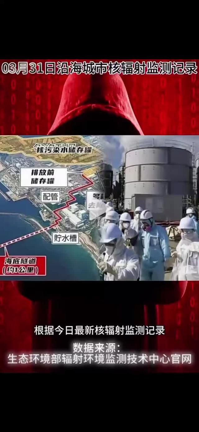
Nuclear Radiation Threat: Coastal Cities Face Grim Challenge
-
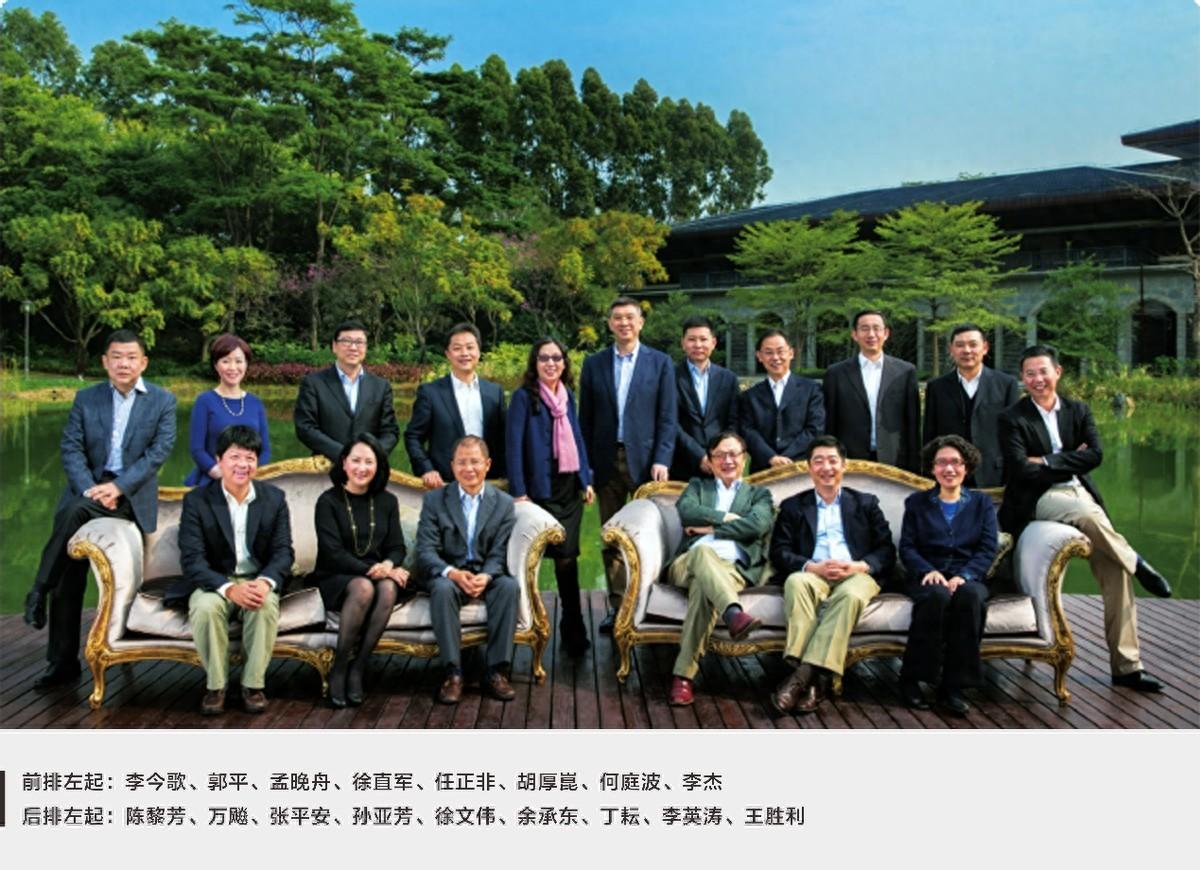
The Metamorphosis of Huawei's Board of Directors: An Eight-Year Journey
-

-

Connect Your Phone to Highway Surveillance Cameras to Monitor Traffic in Real Time
-
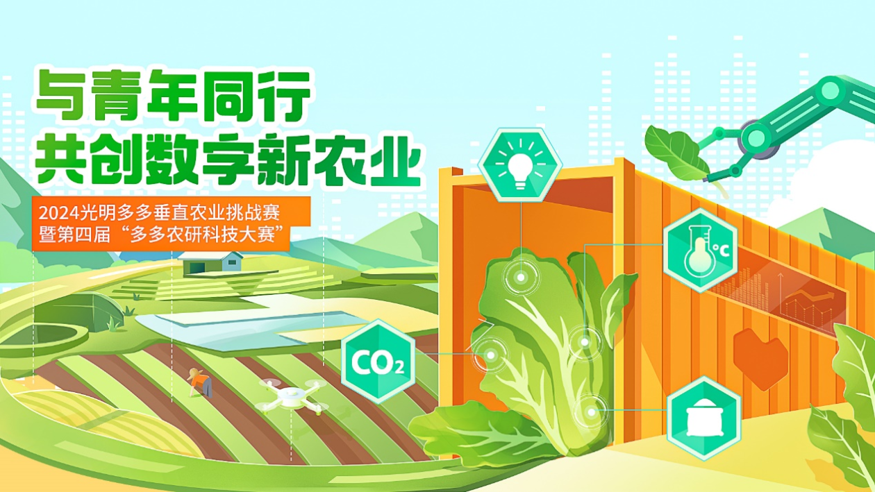
Brightmore Pinduoduo Vertical Farming Challenge: Advancing Innovation in Container-Based Cultivation
-
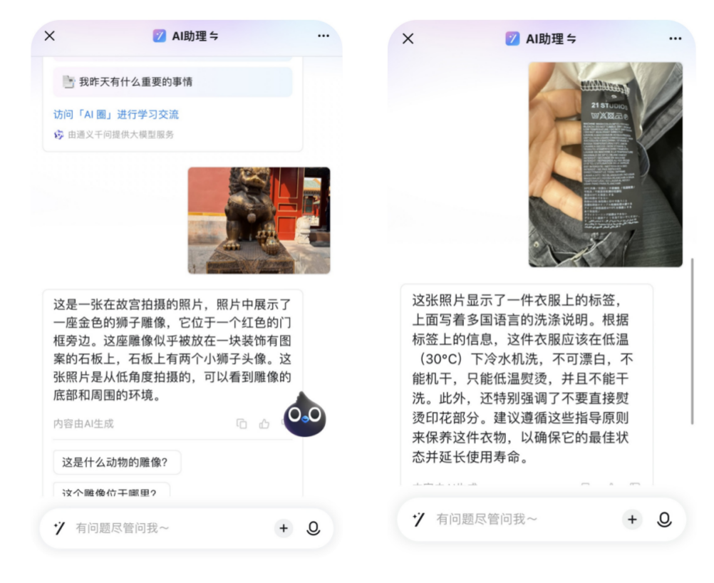
DingTalk AI Assistant Upgrade: Multi-Modality, Long Text, and RPA Empowering Work and Productivity
-
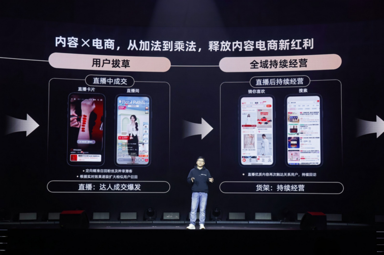
Taobao Invests Heavily in Content E-commerce With 100 Billion Yuan
-
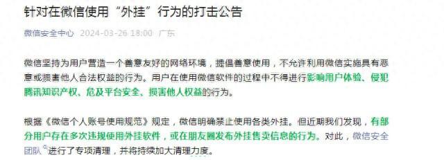
WeChat and Douyin Crack Down on Illegal Plug-ins and AI Virtual Characters to Protect User Security
-

Yadea Cocoa: An Innovative E-Bike Designed for Urban Commuting
-
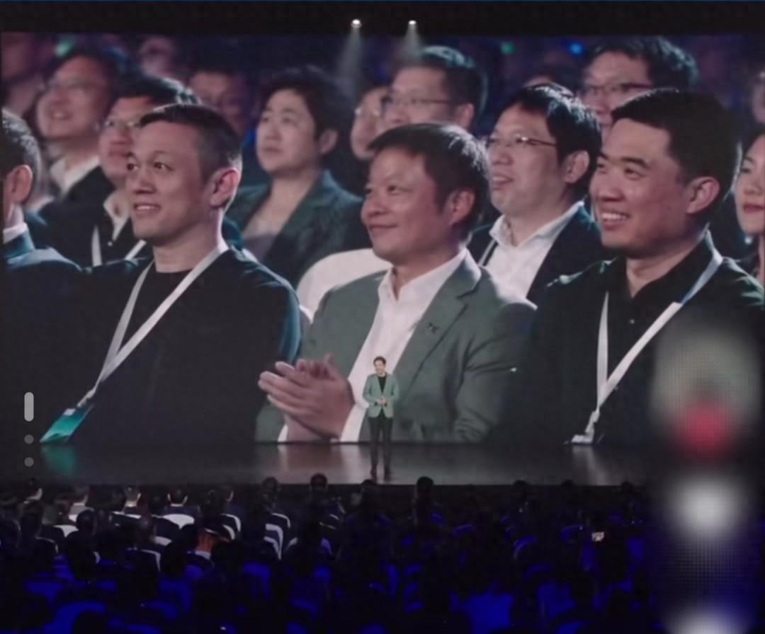
Xiaomi's Newest Leaders: Three Key Executives Shaping the Industry
-